PUERTO VALLARTA MAP
|
Location in Center of Town
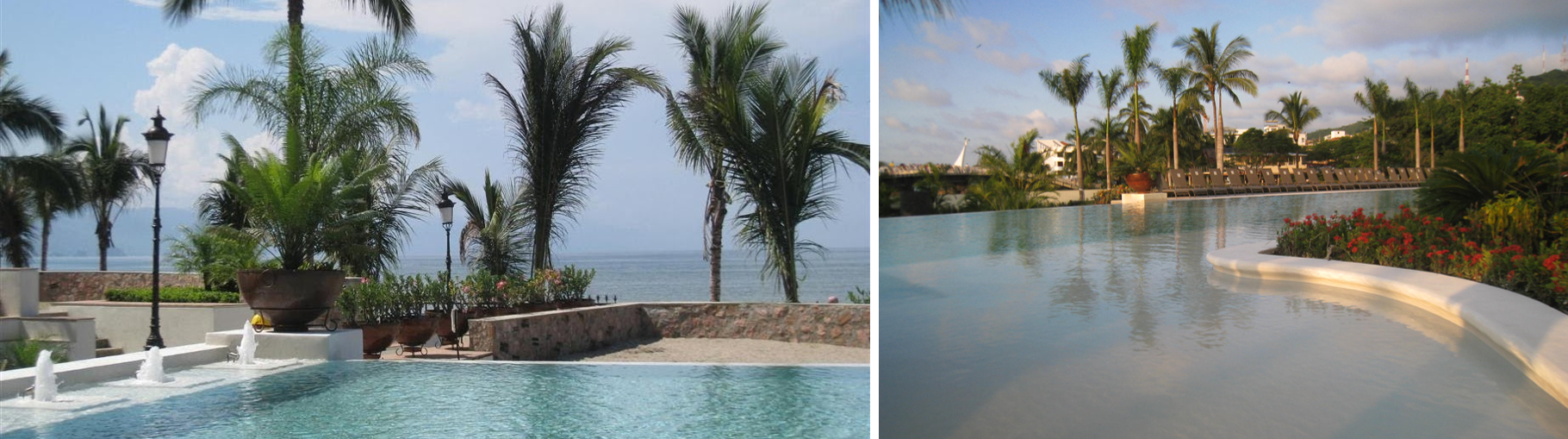
This is a map of Puerto Vallarta's town center and the area south of Isla Cuale and Rio Cuale, which is known as Zona Romantica or the Romantic Zone. It covers an area with almost every notable restaurant, shop, and nightclub. Isla Cuale is a long, lush island in the middle of the river that is full of good restaurants and small shops. Playa Olas Altas is a beach that extends to the south and merges with Playa de los Muertos. Shown as a dark blue line is a pedestrian bridge that extends from Playa Olas Altas over the river. It is part of Puerto Vallarta’s renowned Malecon walkway along the water. Molino de Agua occupies the largest block of land along the beach. These landscaped grounds with large trees are next to a tropical, ecological preserve along the river. Our gated, drive-in entrance is on Serdan Street. The location of our place on the beach, Tower One, is pinpointed with a red arrow. All inland condos in this complex (Towers Two to Ten) are behind. From Molino de Agua, it is a short walk over the pedestrian bridge to the central church, main Old Town Square, outdoor amphitheatre, and many items of interest. All make for lively, enjoyable evenings virtually every night of the year. Nearby are many of the finest restaurants and liveliest nightclubs in Puerto Vallarta, plus a multiude of art galleries, jewlery stores, and small shops. Two blocks from the southern edge of this map, also within easy walking distance, is a small pier for pick-ups for sport fishing, charter, and water-taxi to Yelapa and closer points to the south. The beginning of the Coastal Road South, which is described in a separate section in this Web site, is within a few blocks. This is the best possible location for a Puerto Vallarta vacation. |


|
(For direct access to all other pages, click on three small bars above content - upper left.)